


New Client Offer
RISK FREE TRIAL! All new clients receive their first project at no cost (up to 4 hours). No contracts or obligations.
Services
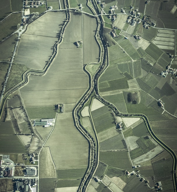
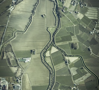
Award Winning Cartography
State Of The Art Software
Portfolio
Exceptional design, mapping and plan drafting
State of the art ESRI ArcGIS, AutoCAD and Surfer Software
Web mapping and field data collection tools
Cross-sections
3D modeling
Data subscriptions for Alberta dispositions, well, pipelines and more
ArcGIS Desktop
ArcGIS Online
ArcGIS Field Apps
Surfer
Global Mapper
Enhanced Environmental Monitoring: Precise tracking of air, water, soil quality.
Spatial Analysis for Decision Making: Optimal infrastructure planning.
Risk Assessment & Mitigation: Identifying and mitigating environmental risks.
Regulatory Compliance: Efficient management & reporting.
Efficient Asset Management: Streamlined maintenance & cost savings.
Remote Sensing & Monitoring: Real-time data for proactive response.
Stakeholder Engagement: Transparent communication & trust-building.
Spatial Data Integration: Seamless integration for holistic insights.
Continuous Improvement: Driving innovation & sustainability.
Data Management


Supporting Industry for 25 Years
Environmental – Expertise in environmental mapping, risk management, and regulatory compliance.
Seismic Exploration – Proficient in preparing GIS data for seismic exploration projects and regulatory approvals.
Wildlife Research and Protection – Skilled in utilizing GIS for wildlife habitat analysis and conservation planning.
Forestry – Experienced in GIS applications for forestry management, including pest infestation monitoring and access route optimization.
First Nations Consultation – Engage in policy discussions and consultation processes, advocating for balanced approaches.
Oil and Gas – Proficient in creating GIS solutions for pipeline management, emergency response planning, and regulatory compliance.


About Us
GenesisIQ Ltd. was born out of a desire to bring leading edge solutions and intelligent thinking to challenges. Let us be the Genesis of new intelligent solutions that fits your needs.
We specialize in a wide range of services including Mapping\GIS, Government Applications, First Nations Consultation and Negotiations, Road Use Applications, 3D and Sub-surface Data Modelling, Environmental Assessment, Mitigation and Risk Analysis.
Wanna chat?
Contact us with any questions or just to say a few nice words ...
GenesisIQ Ltd.
Calgary, Alberta